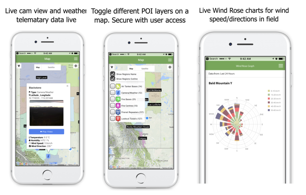
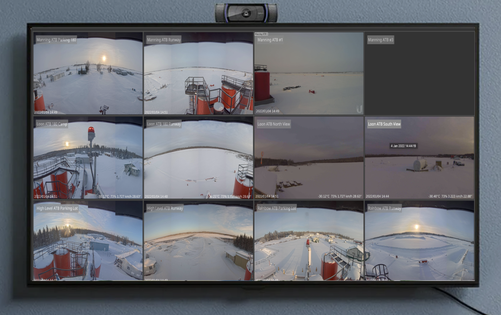
Does your state or provincial forestry department require an internal multi-platform mapping application? We can utilize cross platform technologies to deliver GIS-mapping based mobile applications for Android or iOS platforms, complete with a content management system to be accessed via web browser.
Look no further, Digital Fractal Technologies has a 20 year track record of industry leading app development solutions. Whether you are a part of a state or provincial parks organization, you’re an SME, or startup; our team will work with you to create the customized GIS mapping app you require.
Get in touch with us for a free consultation.
WITH AN IMPECCABLE TRACK RECORD
servicing organizations and institutions across various industries, we are your one-stop shop for software development solutions. Contact us today and learn how we can transform your business through the power of digital.